
Click the following link to obtain St. Croix’s daily agro/hydro/climate data (150-meter spatial resolution). The data is available since September 1, 2017. Results are available in the following formats: JPEG, Matlab, and Excel-compatible CSV format.
Daily Historical St. Croix Data
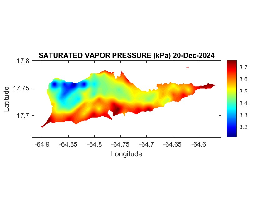
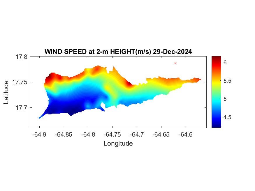
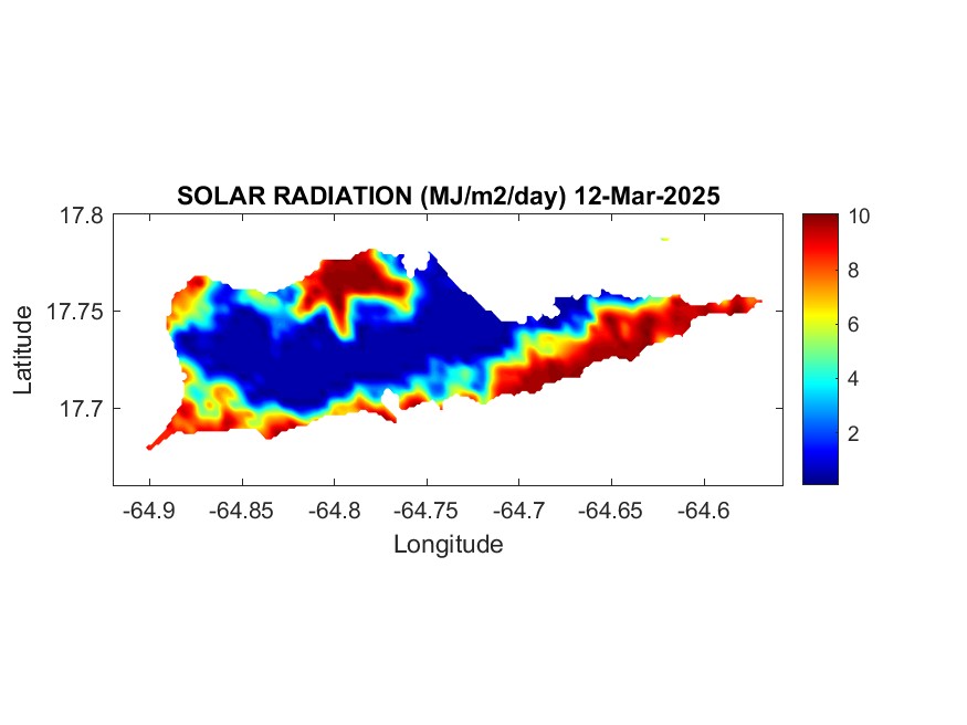
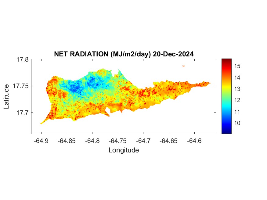
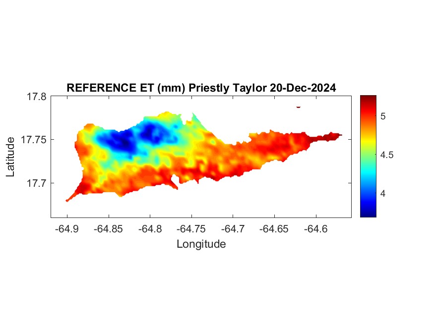
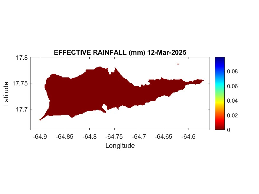
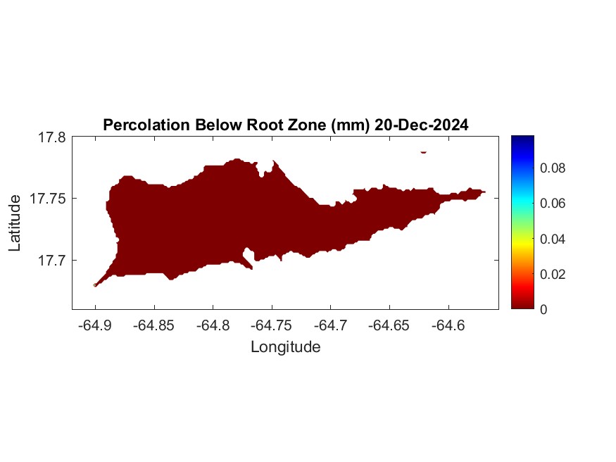
Selected map results for yesterday are provided below.
A description of the methodology used to calculate the results can be found on the GOES-PRWEB website.
ACKNOWLEDGEMENTS: This research received partial funding from the following sources: Caribbean Climate Adaptation Network (CCAN) a NOAA Climate Adaptation Partnerships team (Grant Number NA22OAR4310545), NOAA-CREST (Grant NA06OAR4810162), and USDA Hatch Project (Hatch-402). Special thanks to Dr. John Mecikalski for providing the solar radiation data, Harold Valle Reyes, Ph.D. student at UPRM for the Matlab and Python code development, and UPRM graduate student Luis Colon Sanchez for developing the model parameters for St. Croix.
DISCLAIMER: The information on this website is provided “as is”, should be considered provisional and is subject to change. The authors and publishers of this information disclaim any loss or liability, either directly or indirectly as a consequence of applying the information provided herein, or in regard to the use and application of said information. No guarantee is given, either expressed or implied, in regard to the accuracy, or acceptability of the information.
SELECTED RESULTS FROM YESTERDAY


Crop Stress Coefficient: 1=No Stress, 0=Extreme Stress